In yet another attempt to get our step count up, and to do a walk I've wanted to do for several years, today did the Mount Majura to Mount Ainslie walk. Not that there's actually a defined trail. In fact between the mountains there's tracks criss-crossing all over the place. Definitely a two-car job (unless you really want to walk all the way back again as well!)
You can't drive very far up Majura Road before the road is blocked
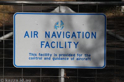
They didn't have enough chains so used lots of padlocks instead

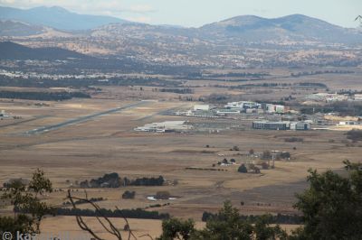
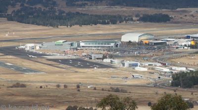
Pretty cool view of the airport, but not many planes, it being a Sunday and all
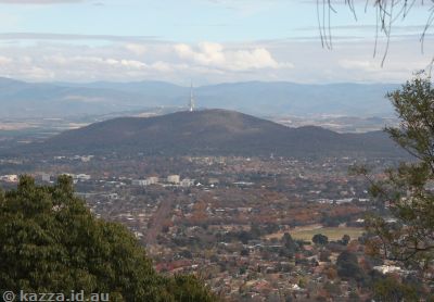
Looking toward Dickson and Black Mountain
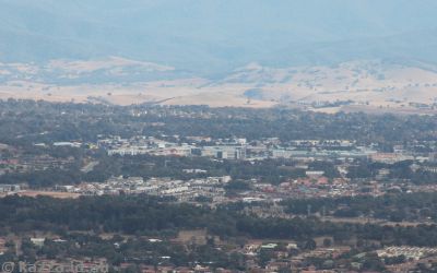
Looking toward Belconnen
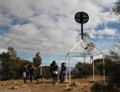
Aircraft radar at the top of Mount Majura

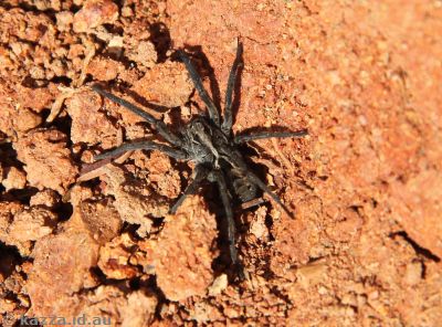
Obligatory spider shot for Tony ;)
It was quite crowded around Mount Majura, lots of walkers out and about
We just need to go straight over there - no need to go down first, right?

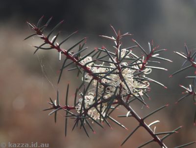
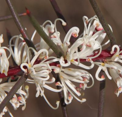
Spikey flowers
Virgin Blue 737 taking off

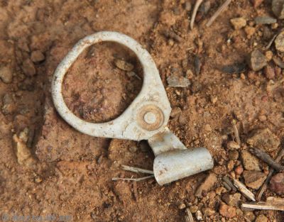
Now here's something you don't see every day (anymore)! There were a whole heap of them near the top of the trail on Mount Ainslie
Made it!!

Aircraft beacon on Mount Ainslie

Canberra airport from Mount Ainslie
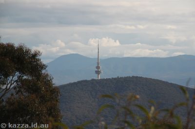
Obligatory Black Mountain Tower photo
Canberra
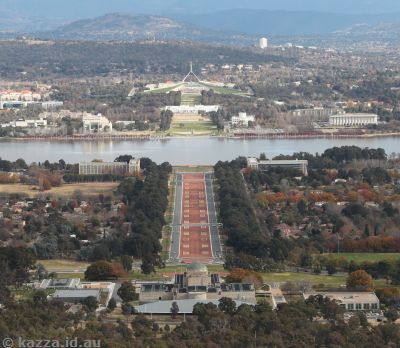
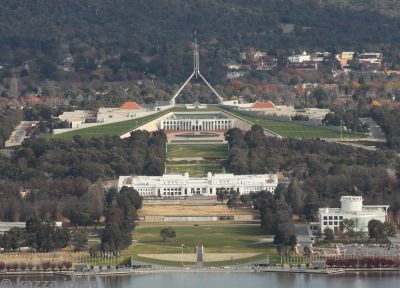
Houses of Parliament, so to speak
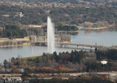
The fountain was fountaining
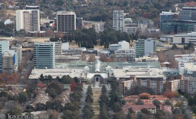
Canberra Centre and part of Civic
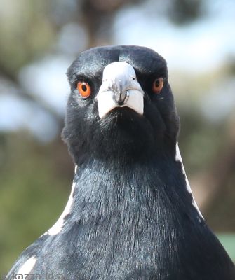
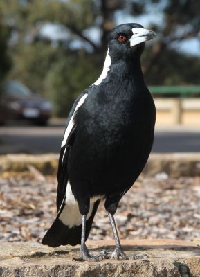
Magpie portraits
So this was the whole trip around the mountains, showing where you have to park on the north side of Mount Majura as the red waypoint at the top.

Here's a close up of the walking part itself from the top of Mount Majura (top) and Mount Ainslie (bottom)

The GPS track of the walk itself is here if you want to look at it any closer.
8.4km, ~13000 steps, nearly three hours of walking (with lots of stops for photos).
Missy
Wow! Very impressive! Great pictures and the padlocks are a hoot. I guess padlocks are harder to cut through and therefore safer?
Lisa
such a perfect day for a bush stroll!!!