Took ages to get to sleep but still woke up early. Out the door by 9:00 although then had to get the car, load the car and check out.
Got some more petrol on the way out of Hobart.
Our first stop was the Historic Toll House, which used to be a YHA and Mum took a photo of in 1968.

Historic Toll House (my mother stayed there when it was a Youth Hostel)
Then the plan was to see the River Derwent dams and power stations. But due to the state of the world (I hate people) there were a lot of fails due to no access.

Big cherry outside a cherry tree plantation
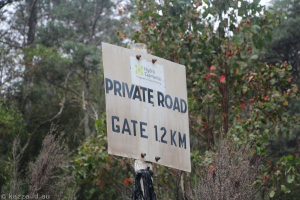
Meadowbank Dam: Fail - road closed, can't get anywhere near it. Google Maps fail.

Meadowbank Dam Road - closed
Stopped in Hamilton for a pitstop and to sort out the GPS. Would have been nice to have a walk around tour (and found a brochure later on in the place we stayed).. next time!
Also found the spot Dad took a photo of Dunrobin Bridge, but trees in the way.

Trying to find the location of the Dunrobin Bridge photo my Dad took in 1971

Dunrobin Bridge
Repulse Dam / Power Station: Win - weather wasn't great so it looked quite dull, but at least got to see it. Annoyingly the bridge just below the dam was closed so we had to backtrack All The Way to Dunrobin Bridge to come back up. Google Maps fail.

Repulse Dam

River Derwent at Repulse Dam

Repulse Power Station

Repulse Dam

Bridge at Repulse Dam

Bridge near Repulse Dam - closed - meant a lot of extra driving
Catagunya: Fail - road closed, can't get anywhere near it. This was sadmaking because this one has a cool canal it would have been good to see. Google Maps fail.

Catagunya Road - closed
Wayatinah: Mostly fail - the power station is surrounded by a big scary fence, and impossible to get the photos Dad did in 1971.

Wayatinah Power Station - closed off
Liapootah Power Station: Partial win - the power station is surrounded by a big scary fence, and impossible to get the photos Dad did in 1971. Save for one - there was no fence around the penstocks so was able to reproduce one of Dad's photos.

Liapoota Power Station

Penstocks at Liapoota Power Station

Location of Dad's photo of the view at Liapoota Power Station

View from the top of the penstocks at Liapoota Power Station

Liapoota Power Station
Liapootah Dam: Fail - road closed, can't get anywhere near it. Google Maps fail.
Liapootah Dam Road - closed
Tarraleah/Tungatinah: Win, well mostly. Was able to (mostly) reproduce Dad's photos from 1971, excepting for trees. Always trees. The lookout at the top was amazing.

Penstocks at Tarraleah Power Station

Penstocks at Tungatinah Power Station

Pipeline for Tarraleah Power Station

View from Tarraleah Lookout

View from Tarraleah Lookout

Surge towers for Tarraleah Power Station

Penstocks at Tarraleah Power Station

Tungatinah Power Station

Tarraleah Power Station
Clark Dam: Fail - road closed, can't get anywhere near it. Google Maps fail.

Butlers Gorge Road to Clarke Dam - closed
Stopped at Tarraleah No.1 pond on the way back to Ouse.

Water canals upstream of the Tarraleah Power Station
It was only like 15:00 by this point. Too many failures meant the day finished a lot quicker. If we'd known all this maybe we could have planned things differently (a lot of this had originally been planned for tomorrow on the way to Strahan, but we figured it would be way too much to get done and so brought everything forward. But if we'd just gone to the things we could it may have been possible).

Dunrobin Bridge

Dunrobin Bridge
Anyways, so somewhat depressed we had a beer in the pub in Ouse, then grabbed some supplies and headed to the B&B on the Derwent. Lovely place. Very.. rustic.. hehe. There's sheep, turkeys and even a peacock. Grabbed a beer and went for a wander and ended up talking to the owner for ages by the water. Didn't go for a swim though - too difficult to get in and out of the water.

Cluny Lagoon on the River Derwent

Cluny Lagoon on the River Derwent

Peacock at the B&B

Sunset over the farm

Peacock feather in our room

Cluny Lagoon on the River Derwent

Cluny Lagoon on the River Derwent
Had tv dinners for dinner and watched an episode of Sex Education. But didn't end up doing any computer stuff.
Comments