Fun Stuff: September 2020 Archives
Backdating to the night I took these.
I don't think there even was a Nightfest this year. But if you're in Civic and night and there's flowers and pretty lights, you take photos right? :)


I see this tiny little patch of Floriade on my walks. There's a sign which casts a shadow over it most of the time, but I've still gotten lots of pretty photos. These are photos from the past couple of weeks.


Not as many photos this time, promise ;) Also backdated to the day I took them.
A week later and more of the tulips are out.


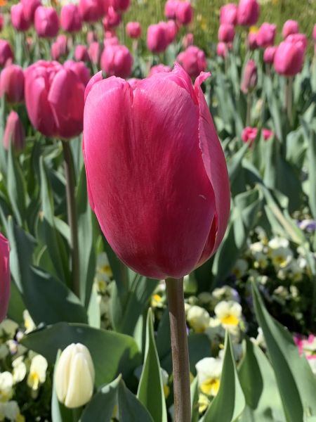


Back when Covid-19 was first ramping up, the organisers of Floriade decided to pull the pin early and cancel the whole event. But they decided to plant all the bulbs all around Canberra. There's little patches of Floriade everywhere in Canberra, and I'm *loving* it! I haven't been to Floriade very often because of the crowds and pain it is to get there. So when Floriade is in your local area with no crowds, I'm sold!
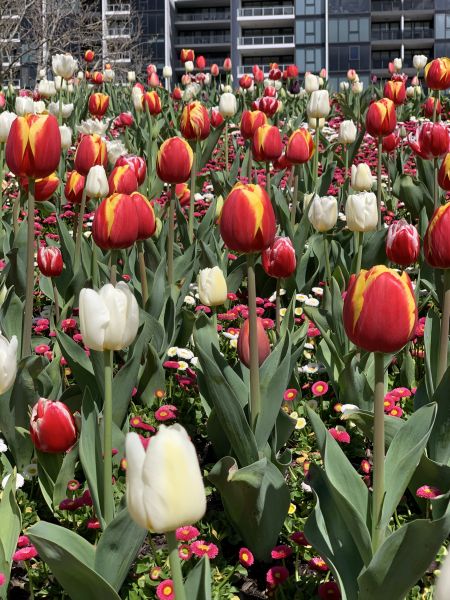
This was in the Belconnen town centre (backdated to the day I took these photos).


A long long long time ago the brother type person put me onto Geosetter by Friedemann Schmidt. I've been using it to geotag my holiday photos since probably around 2010. I take the GPS tracks from my PhotoMate, and geotag all the photos with it.
I've only been using Geosetter for the basics of geotagging, but a while back David showed me that Geosetter could pull even more location data from GeoNames a free location database. Well free except the api key is restricted to 1000 requests an hour. It'll work briefly at the beginning of the hour then stop. But, turns out you can register for a free account. So I did that, and in the Internet settings of Geosetter, you put your GeoNames details in, and away you go! Did that the other night and got it working. I haven't started going through and adding the data to all my files yet - I'll start to work on that methodically at some point.
A year or two ago Google started charging to use their maps API. Geosetter fell victim. It would still work, but the map would be very dark and have "for development purposes only" watermarks all over the page. This also would occasionally work properly if you loaded the application at a quiet time when other people weren't using it as much. Then it would stay working for a few days, so I'd leave it open so I could come back to it. But for most of the time it just made it a bit harder to label photos because the page would be so dark. David had also gotten around this problem by registering for a Google API key. This one you need to pay for, but unless you're making a lot of requests, it's pretty cheap (0.007 USD each map load if I read it right). So I found a guide online which describes how to get an API key and configure it in Geosetter. So I did that tonight and got it working! It took a bit of fiddling with Google as the developer guide doco neglected to mention associating the Maps Javascript API with the project. It also didn't talk about how to associate billing. I had to fiddle around in the Cloud Platform settings to find those myself. But now it seems to load properly, so that'll be much more betterer!
Fun times!
(backdating to the day I took these)
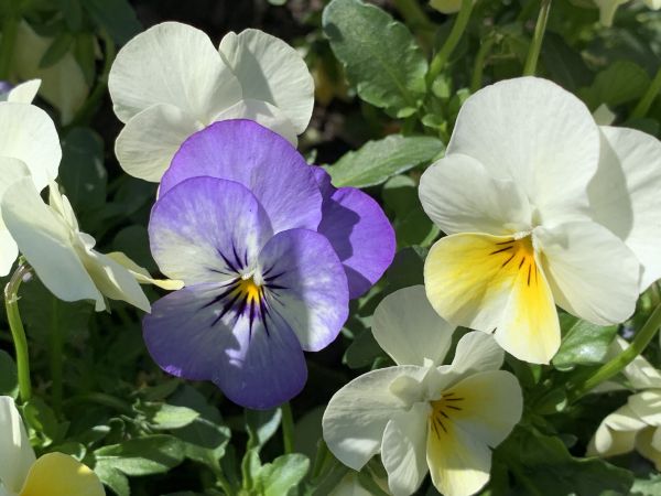
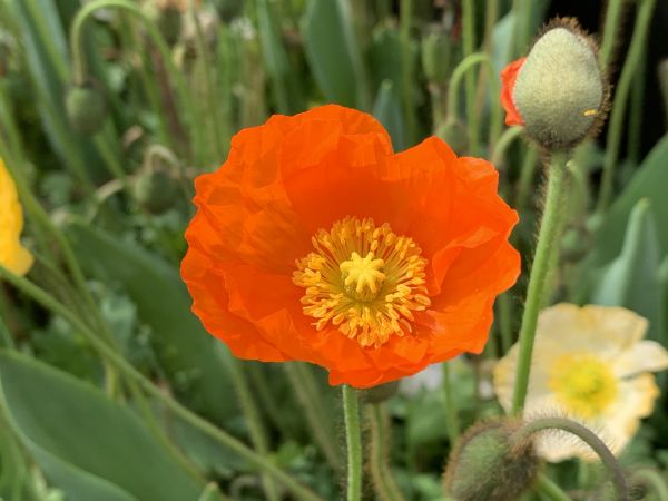
Aquila posted some flowers on Instagram with the caption "It's that time of year". A few days later I was out and about and took a few photos of flowers on my walk. And the flowers in the front garden at home. And ended up with photos of twenty-four different flowers.. whoops!!


One fun thing I did on our Tumut weekend two weeks ago was reproduce four photos Dad took in Adaminaby on a trip there in June 1961 (a group of them did a tour around the Snowy Mountains Scheme which was still in the process of being constructed).
Just look at the growth of the trees in sixty years!
1961 and 2020 photos below for comparison.

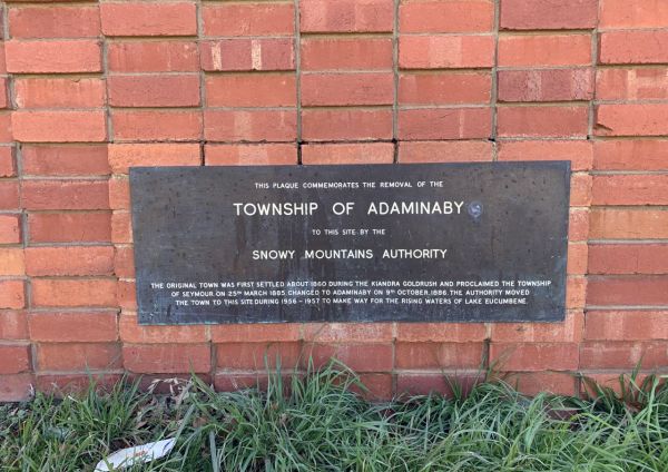


And here's me comparing the scene!
